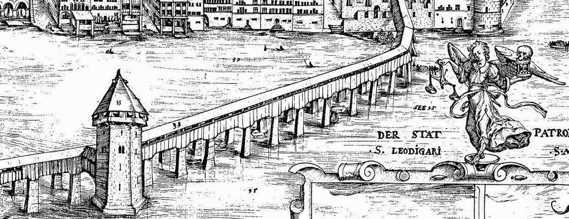
The Martini Plan of Lucerne: A Renaissance Masterpiece
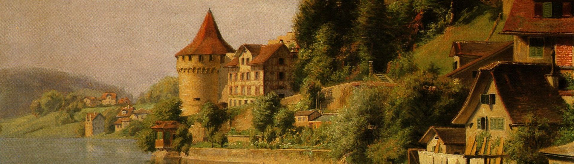
The city of Lucerne has several beautiful medieval maps, but one of the most fascinating is the Martini Plan of Lucerne, created in 1597. It is considered one of the finest copper engravings of its time.
What makes the Martini Plan so charming is that geometric accuracy was not Martini’s priority. Instead, he adjusted reality in order to present the city in the most pleasing way. Some details are hidden, others enlarged. The houses appear slightly smaller, while the streets and squares are shown a little wider — inviting the viewer to wander through them with their eyes.

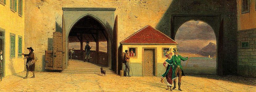
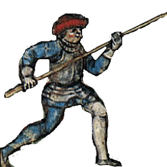
And then Martini brings the city to life. He populates the map with people: ladies in elegant hats strolling through the streets, and men with staffs crossing the market squares. The city is not just drawn — it is inhabited.


You can explore the Martini Plan on Wikimedia Commons:
https://commons.wikimedia.org/wiki/File:Martiniplan_Luzern.jp
Another fascinating old map of Lucerne is the Schumacher Plan of 1790.
Map key on the Martiniplan
1. Gütsch
2. Gütsch Tower
3. Senti Gate, St. Antonius Church
4. Pfründer Hospital and lower Languish House
5. Municipal Wood House
6. Municipal Hospital St. Jakob
7. Crossbow and Shooting Club House und Kuzweil Square
8. St. Anna Hospital
9. Riflemen Club
10. Basler Gate, Custom House, Oat Tower
11. Municipal Smith House
12. Jew Tower, Grain Store
13. Arsenal
14. Pfistergasse
15. Bruchgasse
16. Bruchtor, Gasse um den Burggraben (heute Hirschengraben)
17. Kesselturm
18. Ketzerturm (
19. Obergrundstrasse
20. Krienser Gate
21. Inn zum Schlüssel
22. Bartüssergasse und Platz
23. Barefooter (Franciscan) Abbey and Church
24. Schmiedgasse
25. Burger Gate, Krienbach (Creek) und Brüggli
26. Münzgasse (Mint Lane)
27. Heiliggeistspital und Kirche (Holy Ghose Hospital and Church)
28. Jesuitenkirche und Kollegium (Jesuit Church and Convent)
29. Jesuitengymnasium, Gasse und Platz (Jesuit Gymnasium)
30. Kropfgasse und Tor
31. Frauenturm (Women Tower)
32. Freienhof
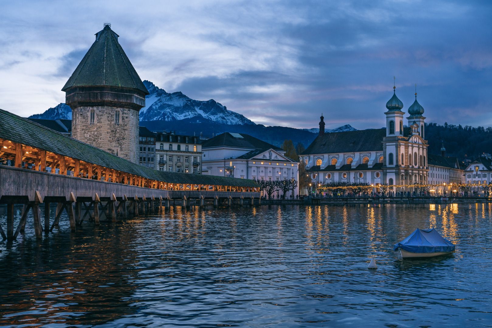
33. Kapellbrücke mit Wasserturm (Chapel Bridge with Water Tower)
34. St. Peterskapelle (St. Peters Chapel)
35. Zurgilgenhaus und Turm (Zurgilgen House and Tower)
36. Wyghaus des Klosters Engelberg
37. Herberge der römischen Kaiser und der österreichischen Fürsten
38. Rat- und Richthaus, darunter Korn-, Kaufhaus und Ankenmarkt
39. Eggstiege
40. Haus der Gesellschaft zu Pfistern, darunter Obstmarkt
41. Haus der Gesellschaft zu Schneidern
42. Markt an der Fischerstatt
43. Haus der Gesellschaft zu Schützen und zu Fritschi, darunter Metzg
44. Reussbrücke und Reussgässli
45. Kramgasse mit der Apotheke (Kramgasse and Pharmacy / Pillory)
46. Fisch- oder Weinmarkt
47. Kornmarkt
48. Furrengasse
49. Kapellgasse und Platz
50. Sust und Kornhaus
51. Hoftor, Aufgang zur Hofbrücke
52. Vordere Ledergasse und Ledertor (heute Gerbergasse)
53. Hintere Ledergasse und Ledertor
54. Rosengartenturm
55. Gasse unter den Bäumen, Schwesternhaus (heute Sternenplatz)
56. Weggistor, lnneres Weggistor oder schwarzer Turm
57. Grabengasse
58. Graggentor
59. Neuer Platz
60. Alter Rossmarkt
61. Mühlenplatz
62. Mühlentor
63. Harnischer- und Poliererhaus
64. Spreuerbrücke mit Mühlen und Schleife
65. Roter Turm mit Lindentor (heute Nölliturm)
66. Männliturm
67. Luegisland
68. Wacht- oder Heuturm
69. Zeitturm
70, Schirmertor
71. Pulverturm
72. Allenwindenturm
73. Dächliturm
74. Ausseres Weggistor
75. Weggisgasse (heute Hertensteinstrasse)
76. Löwengraben
77. Cysathaus und Kapelle
78. Mariahilfgasse
79. Seegraben
80. Hoftor in der Vorstadt
81. Stift St. Leodegar und Mauritius
82. Propstei
83. Leutpriesterei
84. Hofschule
85. St. Leonhardskapelle und Beinhaus
86. Tor zum Kirchhof
87. Predigerstatt, Platz unter den Linden
88. Hofgasse in der Vorstadt
89. St. Antonius Kapelle
90. Heiliges Kreuz
91. Kapuzinerkloster
92. Dietschiberg
93. Road to Einsiedeln
94. Jesuiter-Baumgarten
95. Municipal Boat House
.